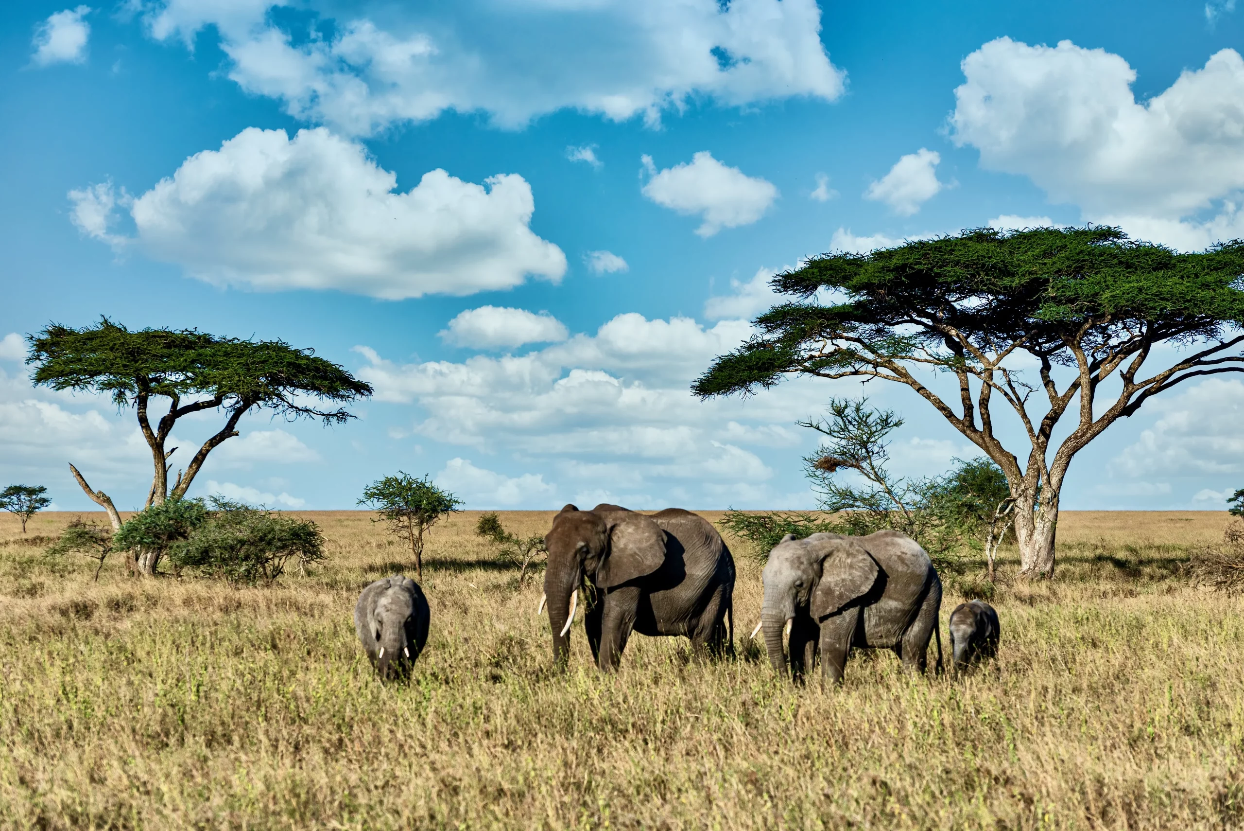
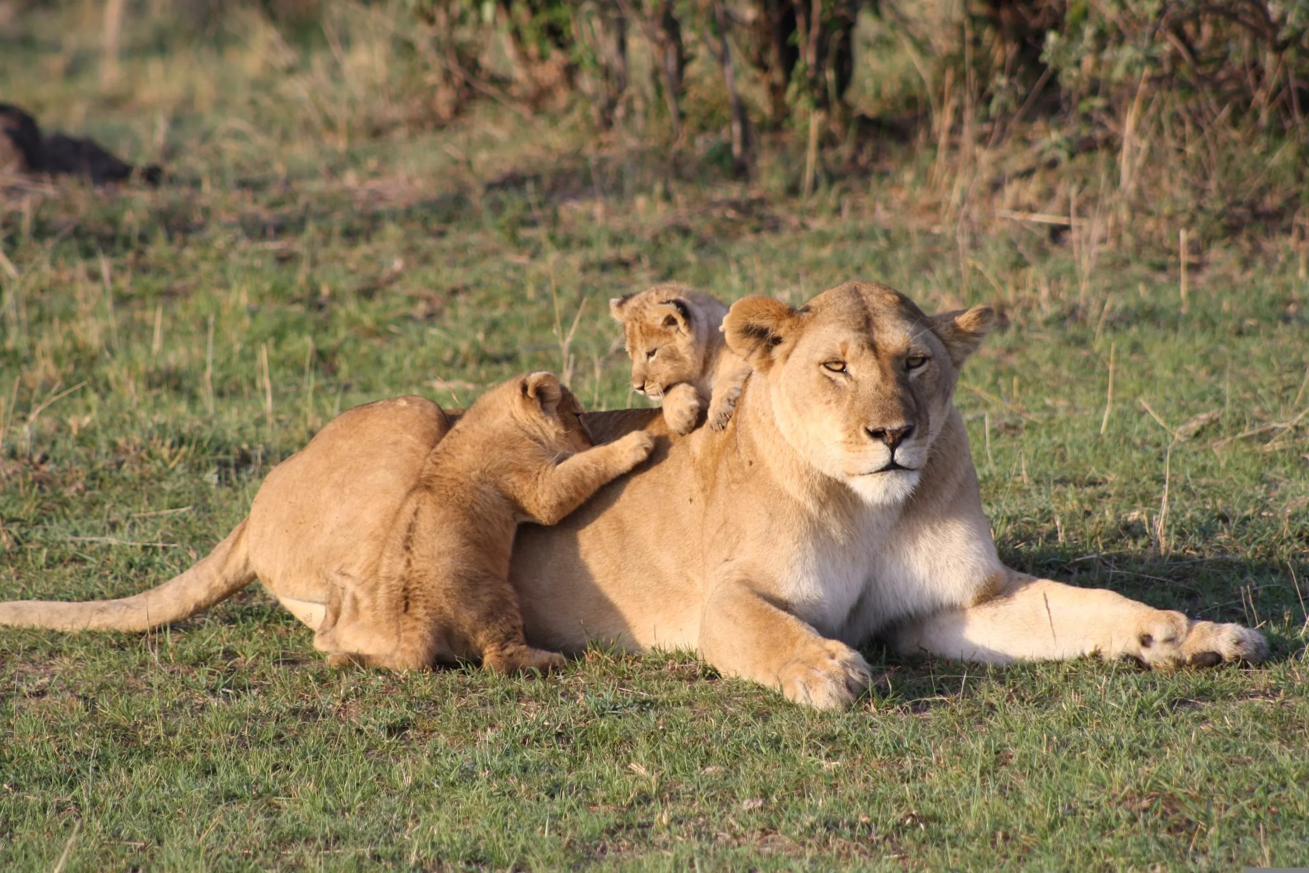
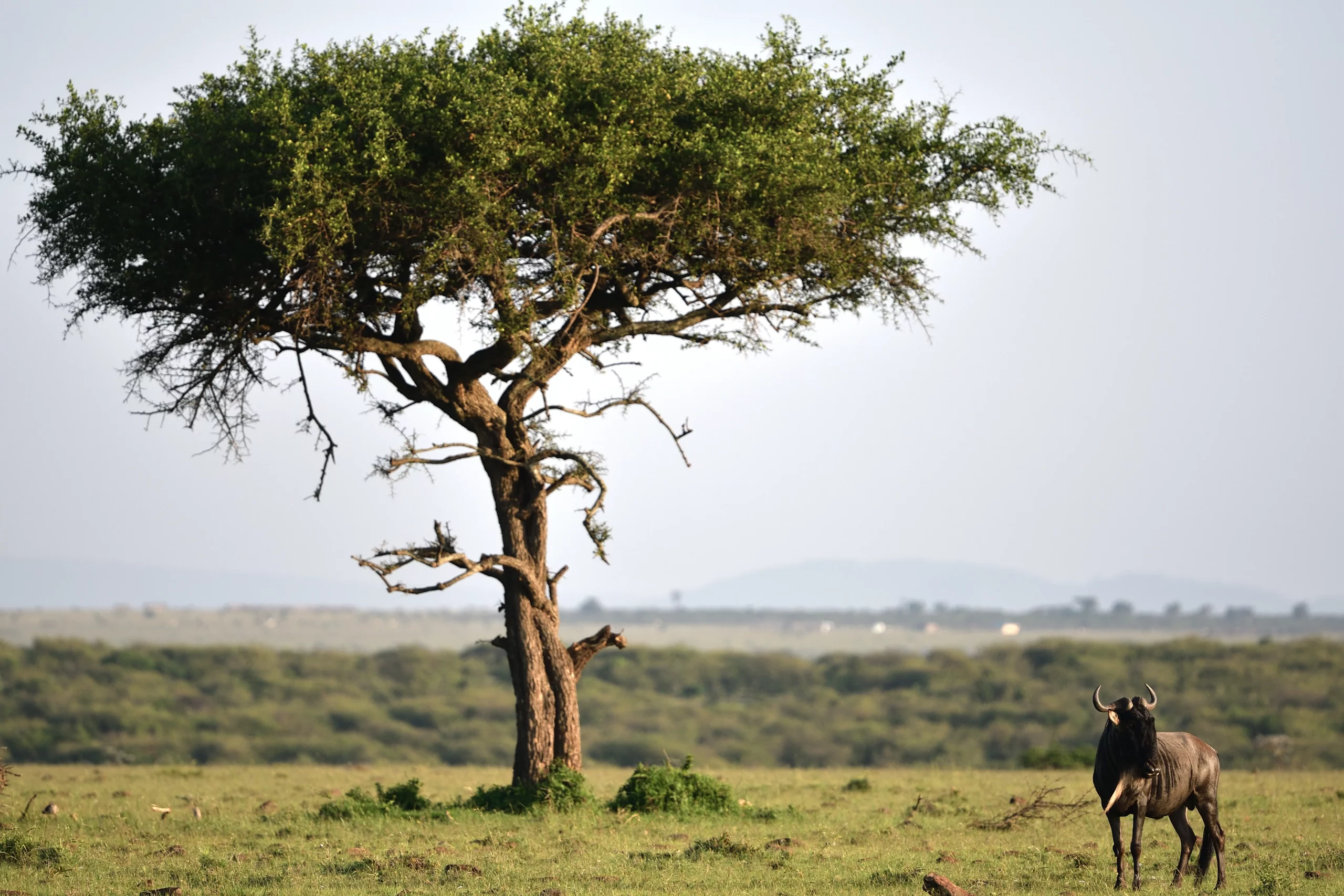
The Maasai Mara National Reserve is a breathtaking expanse covering approximately 1,510 square kilometers (580 square miles) nestled in the scenic south west of Kenya. This reserve forms a critical part of the larger Mara Serengeti ecosystem, seamlessly connecting with the renowned Serengeti National Park, which stretches across northern Tanzania. The Serengeti itself is vast, encompassing around 25,000 square kilometers (9,700 square miles). While the Serengeti lies to the south of the Maasai Mara, the reserve’s western border is defined by the majestic Siria Escarpment. To the north and east, you’ll find the iconic open savannah grasslands.
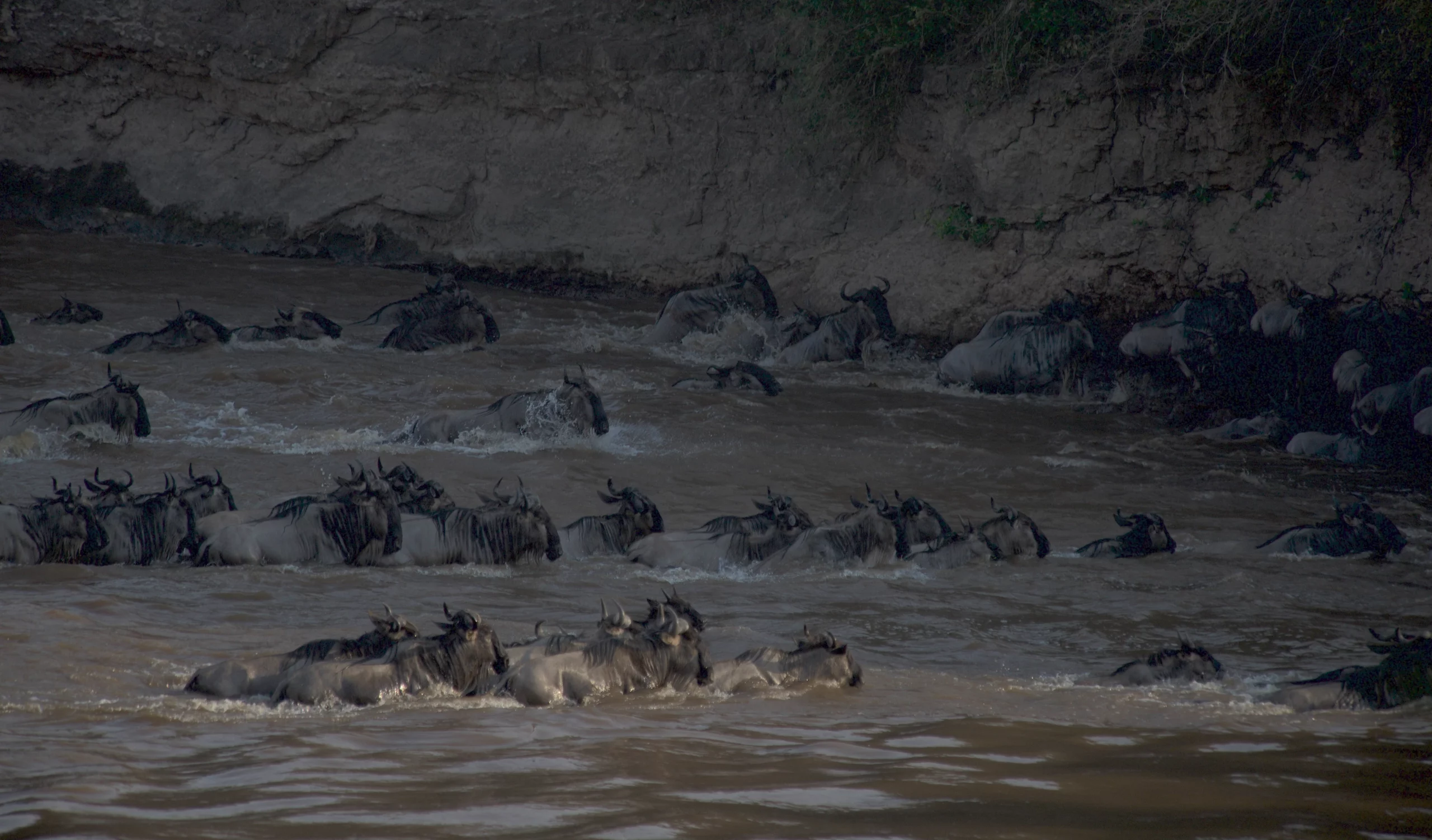
Kenya’s distinct rainy seasons also influence the Maasai Mara, with showers typically occurring from April to May and again from September to November. Despite these rainy periods, the sun often shines brightly, providing a perfect backdrop for the reserve’s varied terrain. The landscape is characterized by open grasslands and rolling hills, with the Mara River flowing throughout the year, serving as the stage for the world-famous wildebeest migration. Additionally, seasonal riverlets meander through the area, adding to its diverse geography.
📍 Altitude: The Masai Mara National Reserve boasts a varied altitude, ranging approximately from 1,480 to 2,280 meters (4,900 to 7,200 feet), offering diverse habitats for its wildlife.
💧 Rainfall: On average, the reserve receives about 85 mm (3.4 inches) of rainfall each month, contributing to its lush landscapes and vibrant ecosystems.
🌡️ Temperature Range: The temperature in the Maasai Mara fluctuates between 12 and 31 °C (54 and 87 °F), creating a climate that supports a wide array of plant and animal species.